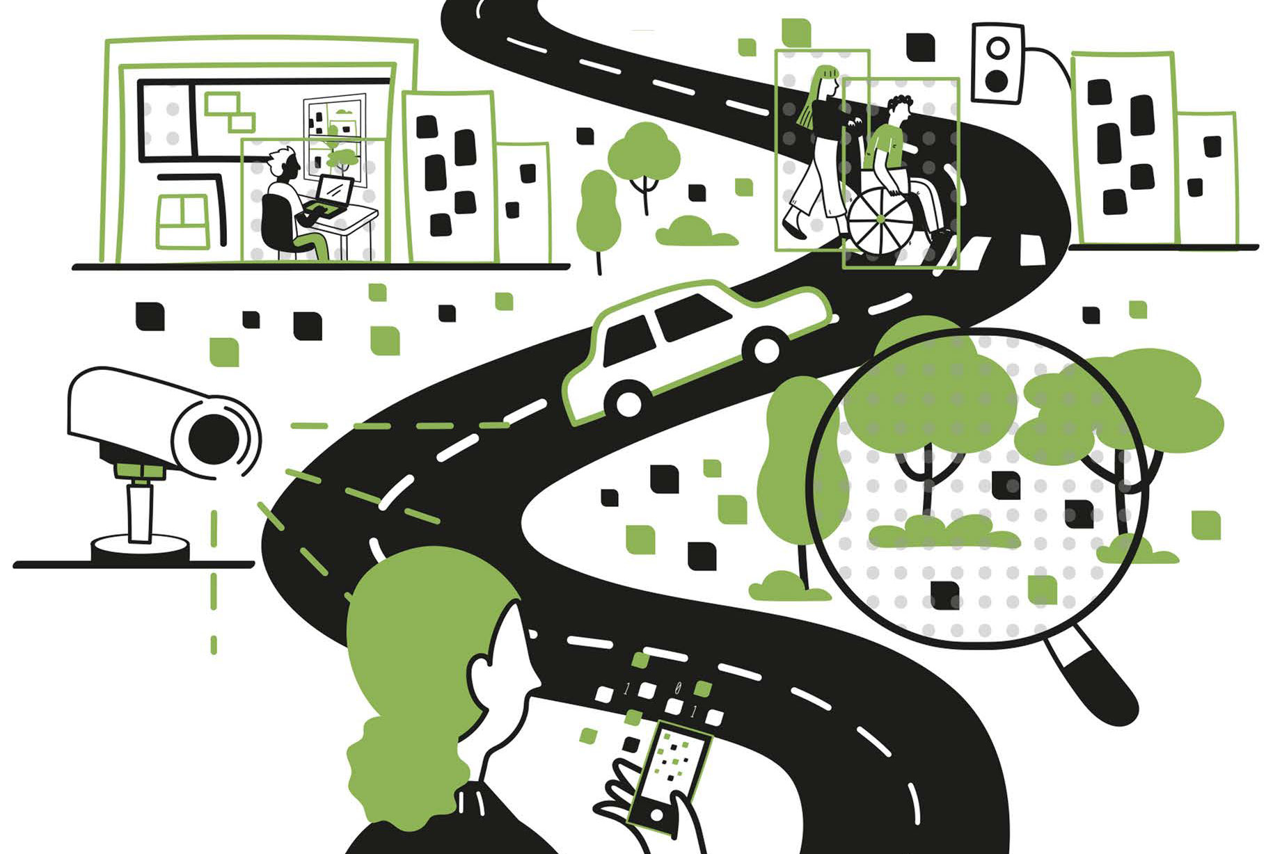
MIT’s Senseable City Lab published a new book called 'How AI Sees the City.' It discusses how visual artificial intelligence (AI) can study urban life. Researchers used machine learning to analyze traffic cameras in New York City. They identified vehicle types and estimated emissions, showing how AI can monitor pollution at scale.
Visual AI can answer questions about traffic, safety, and public spaces. It can also analyze images from phones and cameras to reveal how people interact with green spaces and urban features. For example, images from 400,000 AirBnB listings show that interior styles differ by region, not becoming more uniform worldwide.
The authors warn about risks like intrusive surveillance and bias reinforcement. They emphasize that AI should serve human purposes in urban design, not replace careful planning. The book connects AI with historical visual studies of cities, showing how new tools build on past methods.
This technology offers many opportunities for urban planning, including emissions, traffic, safety, and greenery analysis. It allows city planners to gather detailed insights from large-scale image data. However, users must balance these benefits with privacy and fairness concerns.
Why it matters
This work helps improve urban models and planning tools, but also highlights the importance of managing privacy and bias.
What to do
Consider how visual AI can support your urban projects. Be aware of privacy laws and bias risks when using large-scale image data.